

Cambodia
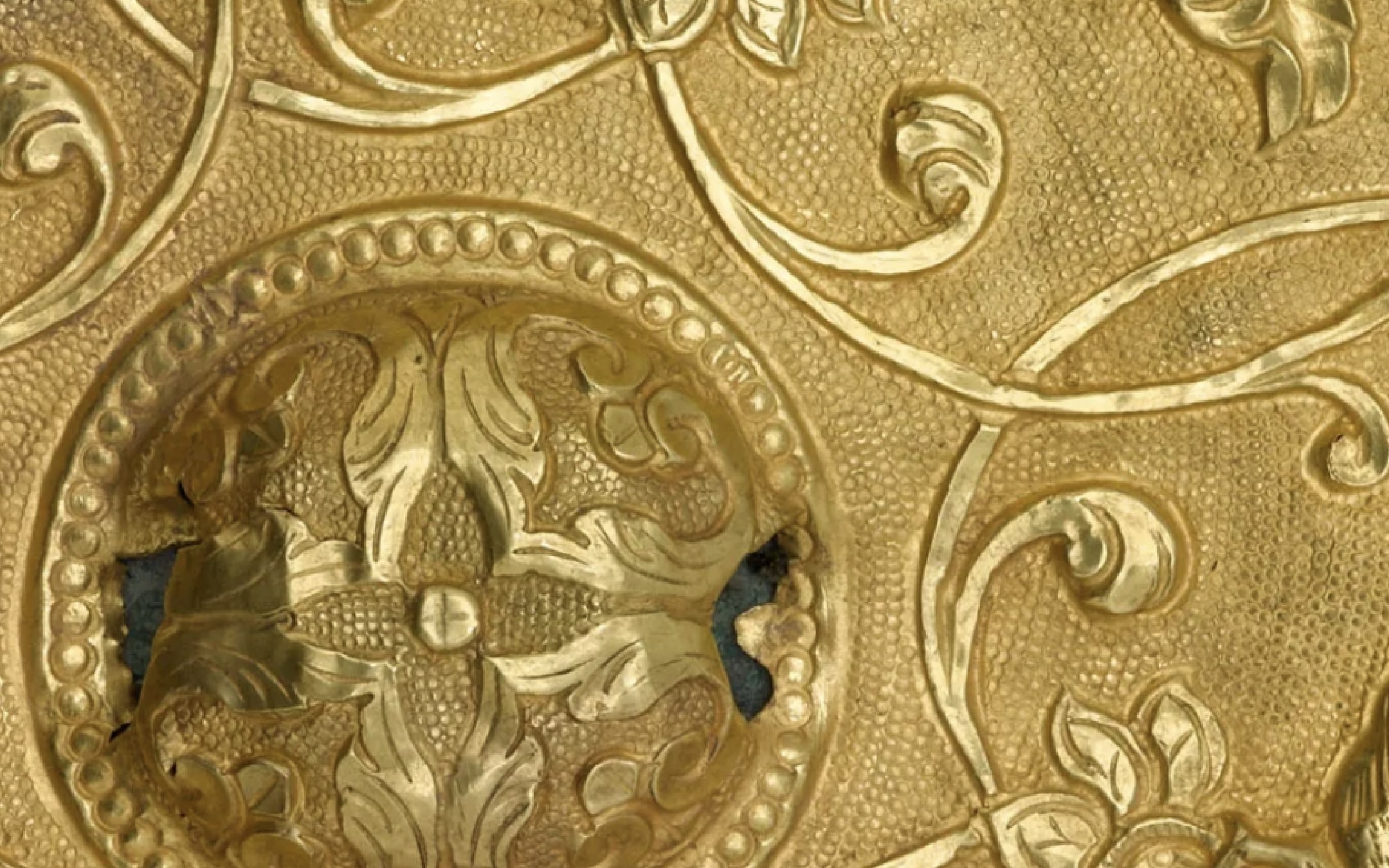
Northeast of the main Angkor area stands the majestic mountain Phnom Kulen. This holy hilltop provided the lowland region with natural resources, such as pure water and sandstone, that sustained the Angkor Empire for centuries. However, before it served this important purpose, the mountain itself was where the Khmer rulers made their first capital, called Mahendraparvata, beginning in the early ninth century with the consecration of King Jayavarman II at his state temple, Rong Chen (ca. 802).
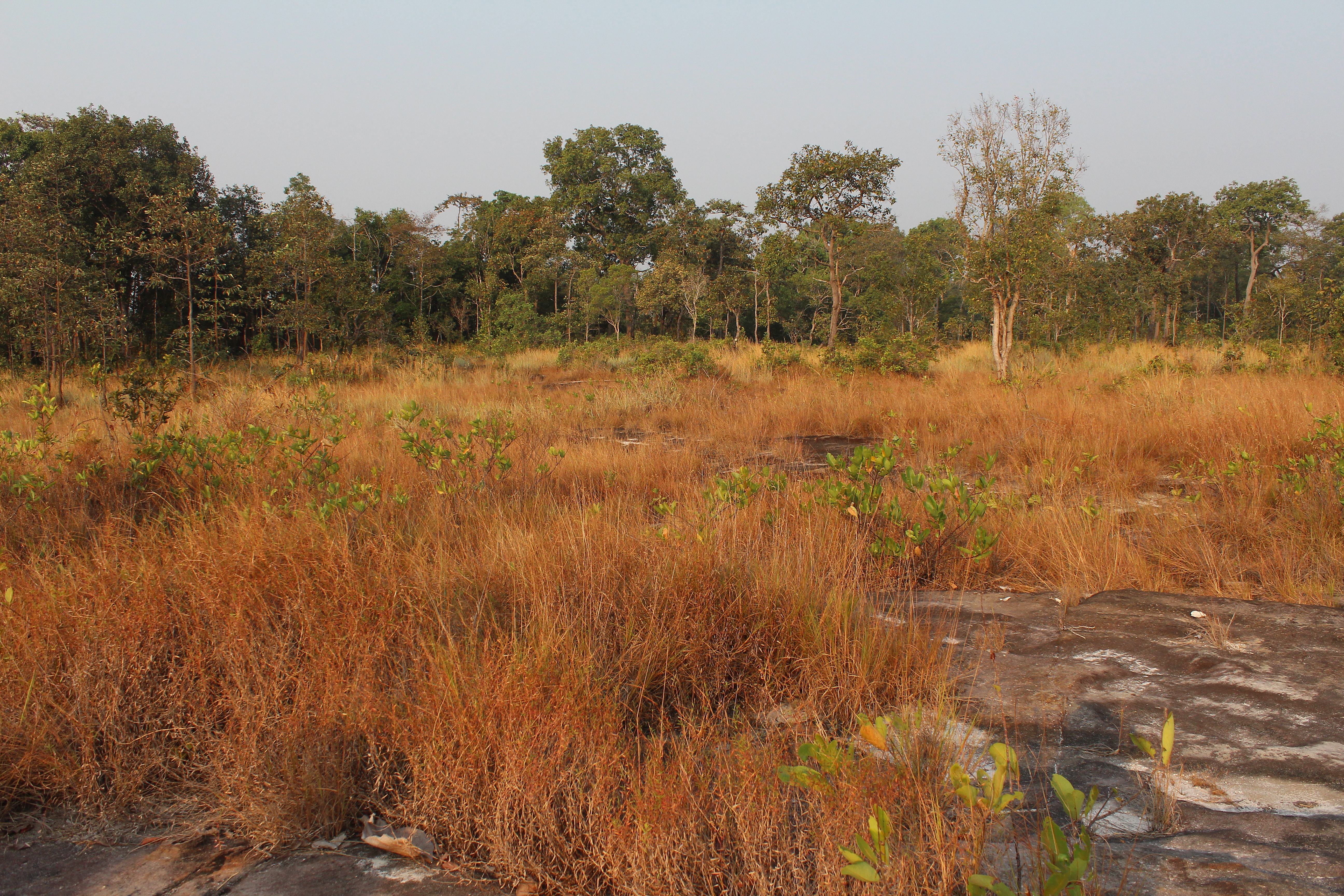
Today, the mountain is densely forested, interspersed with small villages and open plains of scrubby grass over pocked stone. However, exploring is well worth the challenge—more than ten temples and sacred sites, marked on this map, stand within a relatively circumscribed area.
Recently, archaeologists have used innovative LIDAR (Light Detection and Ranging) technology to peel back the layers of the earth and view the ancient landscape. LIDAR can penetrate forest overgrowth to reveal structures that can no longer be seen aboveground. With the aid of this technology, scholars have discovered a once vast city that engineered the mountain’s natural slopes to serve the needs of its people. Explore this research here.